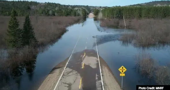
Efforts are underway to update Floodplain Hazard Mapping for Renfrew County; the imperative being the localized flooding of 2017 and that of 2019, when properties previously not deemed vulnerable were inundated by the waters of the Ottawa River.
AHYDTECH Geomorphic is working with the County on the first phase of the project, and timelines have been put on the table.
September 30th the firm was to submit its Draft Hazard Identification Report, followed by the final Hazard Identification Report on December 28th (2023). Simultaneous with this AHYDTECH Geomorphic will have a stakeholder consultation workshop on December 22nd, and on the 28th of December will also hand in a Priority-setting report.
Tasks in 2024 involve submitting a Data Inventory and Gap Assessment Report (January 30th 2024), a Priority Setting and Future Scope Report (February 29th) and an Updated Reports Incorporating Comments from County Staff on March 31st.
All of this before even the first LiDAR contour is created.
That’s McNab-Braeside Mayor Mark MacKenzie.
AHYDTECH is being paid $37,138. Renfrew County received a grant for 50% of the cost, leaving an outstanding amount of $18,569.
The County is proposing to cover 50% of that amount leaving $9,284 that they are requesting local municipal contributions for.
The prorated amount per township is tied to the amount of shoreline along major rivers that
would benefit from the floodplain mapping.
McNab/Braeside share of the invoice will be 8.48% or just shy of $1000.
The amount will come from the Township’s Emergency Management Reserve.
By Rick Stow


