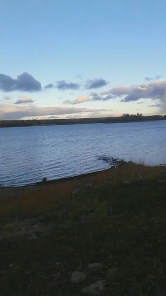
The Flood Warning is over but the Flood Watch some parts of the Ottawa Valley has been extended. The Ministry of Natural Resources and Forestry says that the watch will be in place until at least May 19th. The water levels and flows along the Ottawa River, although declining from earlier levels, still remain high in response to the recent precipitation and due to ongoing freshet. Remnants of the snowpack through the central portions of Northeast and Northwest Regions have largely melted, thus sustaining elevated levels and flows currently occurring in drainage networks. Water levels along the Ottawa River are still high in a few areas, and flooding that has been observed in some localities may be continuing. Residents that have been affected by high water and flow conditions in the past should still take action to protect their property.
DEFINITIONS:
• WATERSHED CONDITIONS STATEMENT – WATER SAFETY: indicates that high flows, melting ice or other factors could be dangerous for such users as boaters, anglers and swimmers but flooding is not expected.
• WATERSHED CONDITIONS STATEMENT – FLOOD OUTLOOK: gives early notice of the potential for flooding based on weather forecasts calling for heavy rain, snow
melt, high winds or other conditions
• SHORELINE CONDITIONS STATEMENT – WATER SAFETY: indicates that along the Great Lakes shorelines high water, melting ice or other factors could be
dangerous but flooding is not expected.
• SHORELINE CONDITIONS STATEMENT – FLOOD OUTLOOK: gives early notice of the potential for flooding along the Great Lakes shorelines based on weather and lake conditions, and water safety information.
• FLOOD WATCH: potential for flooding exists within specific watercourses and municipalities
• FLOOD WARNING: flooding is imminent or occurring within specific watercourses and municipalities.
(Written by: Kyle Robinson)


